We are pleased to announce the release of GRASS GIS 6.4.0, the first in the new line of 6.4 stable releases. As a stable release 6.4 will enjoy long-term support. The next release (6.4.1) will introduce a few new features which are still undergoing final testing, but after that all further 6.4 releases will be bugfix-only. Due to our highly conservative stabilization policy this is the first official version of GRASS to introduce new features since October 2006 and supersedes the previous stable line of GRASS 6.2. As such the floodgates are open and there are many new features to explore and many new structural improvements to be found in the software. GRASS 6.4 brings a number of exciting enhancements to the GIS. Our new wxPython graphical user interface (wxGUI) is debuted, Python is now a fully supported scripting language, and for the first time since its inception with a port from the VAX 11/780 in 1983, GRASS will now run natively on a non-UNIX based platform: MS-Windows! In addition to bringing the software to a host of new users, the ability to run GRASS on any common computer platform furthers our goal of open access to the software. We hope you will enjoy the ability to use this program on the systems that are most convenient to you and your work.
Due to the freshness of WinGrass there may still be a few rough edges yet to discover, but after more than a year of dedicated testing and quality-assurance review we are very pleased with the results. Users can be confident to use this version for their day to day work, indeed due to the open development model many already do. Existing UNIX and Mac users will be happy to know that these new features do not disrupt the base GIS which remains as solid as ever and fully backwards compatible with earlier GRASS 6.0 and 6.2 releases. The venerable Tcl/Tk GUIs are also still available if you prefer to use them.
The GRASS software including over 400 built-in analysis modules and 100 community supplied add-on modules and toolboxes can be downloaded for free from the main GRASS website at https://grass.osgeo.org, or from many local mirrors worldwide. In addition to the extensive documentation which comes with the software, our Wiki help system contains a wealth of user supplied tips and tricks, tutorials, and guides.
Since 6.4 entered the testing phase work has begun on GRASS 7 and is progressing rapidly, including many new wxGUI improvements and tools which we hope to bring over for the upcoming 6.4.1 release.
About GRASS GIS
The Geographic Resources Analysis Support System, commonly referred to as GRASS, is a Geographic Information System (GIS) providing powerful raster, vector, and geospatial processing engines in a single integrated software suite. GRASS includes tools for spatial modeling, visualization of raster and vector data, management and analysis of geospatial data, and the processing of satellite and aerial imagery. It also provides the capability to produce sophisticated presentation graphics and hardcopy maps. GRASS has now been translated into twenty languages and supports a huge array of data formats. GRASS is a founding member of The Open Source Geospatial Foundation (OSGeo), a non-profit legal entity which has enjoyed extraordinary growth. We expect that this formal infrastructure will guarantee that the GRASS community will be well supported and vibrant far into the future.
GRASS is currently used around the world in academic and commercial settings as well as by many governmental agencies and environmental consulting companies. It runs on a variety of popular hardware platforms and is Free open-source software released under the terms of the GNU General Public License.
Users are encouraged to study, customize, extend, improve, and (if necessary) diagnose and repair the inner workings of any part of the program. We believe that scientific progress depends on the reproducibility of results, which in turn depends on the unhindered ability of the user to know, evaluate, double-check, and learn from all algorithms and methodologies used in the process of their work.
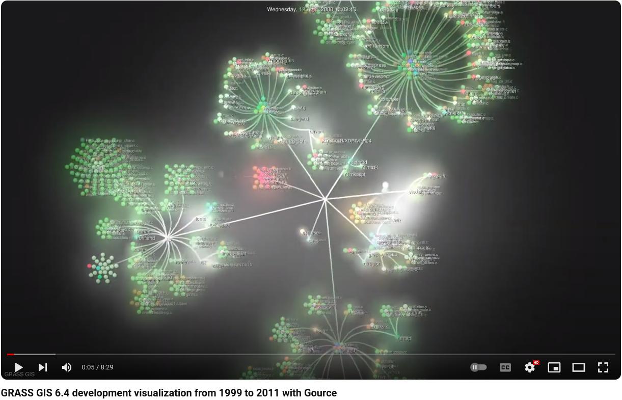
Screenshots
Platforms supported by GRASS
GNU/Linux, Mac OS X/Darwin, Microsoft Windows (native using MinGW or with full UNIX support via Cygwin), Sun Solaris (SPARC/Intel), Silicon Graphics Irix, HP-UX, DEC-Alpha, AIX, the BSD family, iPAQ/Linux and other UNIX compliant platforms. GRASS runs on both 32 and 64 bit systems with large data file (>2GB) support for most key modules.
Software download/CDROM
The new source code is available now and binary packages for major operating systems will be published shortly.
For details on GRASS software capabilities please refer to: https://grass.osgeo.org/intro/general.php, and the Wiki collaborative help system.
What’s new in GRASS 6.4.0
(selected improvements from the nearly 9,000 updates to the source code)
- Source code quality/libraries:
- Many internal adjustments needed for native MS-Windows support, for example safely handling spaces in file names.
- Programmer’s Manual: continued Doxygen integration and automated generation into PDF and HTML formats. Publicly available for download and perusal.
- Improved policies for code submission specified in the SUBMITTING files for documentation, Python, Tcl/Tk, and shell scripts
- New Python scripting language library containing many helper functions
- All modules: --quiet and --verbose message modes
- All modules: --script flag generates boilerplate for shell scripts with parser and GUI support
- Batch mode for launching GRASS for non-interactive processing tasks
- DBMI: SQL parser extended (support for DROP COLUMN, ASC/DESC keyword in ORDER BY clause, etc.)
- Partial differential equations library with OpenMP multi-processor support
- Major clean-up of the display architecture (libraries and drivers): the drivers no longer maintain a palette; all colors are now specified directly as R/G/B values
- The “default” datum transformation parameters are now first in the list instead of last
- Ability to create new locations using EPSG codes with the g.proj module
- Message translation (i18N): many new translated messages, new languages including Vietnamese and Arabic
- Documentation/man pages: various fixes and improvements (more examples added, including graphics, improved style, new introductory pages)
- Documentation: various terminology issues fixed and terms unified
- Symbols: A number of new icons, support for symbol rotation
- Graphical User Interface (GUI):
- g.gui: New frontend command to launch GUI sessions
- wxPython GUI:
- gis.m Tcl/Tk GUI:
- GIS manager extended with mouse placement of text and scale bars and menu updates
- Updated Tcl/Tk profile and georectification GUI tools
- New interactive command console with output window
- New interfaces for interactive raster reclassification, raster recoding, custom raster color rules, and vector reclassification
- New animation tool to display raster map series as an animation
- Improved startup screen and interface, including searchable EPSG codes list and better custom datum support
- NVIZ: Major revamp of interface; output directly to MPEG or other FFmpeg supported formats
- QGIS integration: GRASS toolbox extended, available from Quantum GIS
- Drivers:
- DBF driver: extended column type support
- HTMLMAP display driver: NEW – Prepares clickable HTML image map templates (port from GRASS 5)
- PostScript display driver: NEW – Renders display directly into a PostScript or Encapsulated PostScript file
- Cairo display driver: NEW – Renders display directly into a number of image formats using the Cairo rendering engine
- New and major updates for modules and scripts since GRASS 6.2.3:
- db.dropcol: NEW – Drops a column from selected attribute table
- db.droptable: NEW – Drops an attribute table
- db.in.ogr: NEW – Imports attribute tables in various formats
- db.login: Support for interactive password entry (invisible passwords)
- db.out.ogr: NEW – Exports attribute tables into various formats
- d.barscale: North arrow for lat/lon locations
- d.out.file: Expanded to use the Cairo and PostScript display drivers to allow export to ps, eps, svg, and pdf formats
- d.path: Support for use from GUI and non-interactive mode
- d.rast.edit: Rewritten in Tcl/Tk
- d.shadedmap: NEW – Drapes a semi-transparent raster over a shaded relief map
- d.text, d.font: Updated to accept TrueType fonts and maintain a database of system fonts
- g.dirseps: NEW – Internal utility for converting directory characters (MS-Windows)
- g.extension: NEW – Utility for downloading and installing Add-on modules
- g.findetc: NEW – Internal utility for locating support files
- g.gui: NEW – Launches a GRASS graphical user interface (GUI) session
- g.message: NEW – Internal utility for printing quiet and verbose messages in scripts
- g.mkfontcap: NEW – Internal utility for generating a list of available system fonts
- g.mremove: Support for use from GUI
- i.atcorr: NEW – Performs atmospheric correction using the 6S algorithm
- i.landsat.rgb: Vast speed improvement
- ps.map: Various improvements including new map border control, rotated and scaled symbols, and allowing geogrid from lat/lon locations
- r3.gwflow: NEW – Models transient, confined groundwater flow in three dimensions
- r3.stats: NEW – Generates volume statistics for raster3d maps
- r3.univar: NEW – Calculates univariate statistics from the cells of a 3D raster map
-
r.bilinear: This module has been replaced by r.resamp.interp
- r.category: NEW – Manages raster map category values and labels (replaces r.cats)
- r.colors: Support for equalized histogram, reversed, logarithmically scaled, rules-from-file, and more
- r.gwflow: NEW – Models transient, confined groundwater flow in two dimensions
- r.in.wms: Various fixes and more robust when dealing with flaky WMS servers
- r.in.xyz: Support for extended statistics
- r.le suite: Various fixes and modernization
- r.li suite: NEW – Advanced toolset for multiscale analysis of landscape structure.
Including single and multi-processor enabled modules: r.li.cwed, r.li.dominance, r.li.edgedensity, r.li.mpa, r.li.mps, r.li.padcv, r.li.padrange, r.li.padsd, r.li.patchdensity, r.li.patchnum, r.li.richness, r.li.setup, r.li.shannon, r.li.shape, and r.li.simpson
- r.mfilter.fp: NEW – Raster map custom matrix filter (floating point version)
- r.out.gdal: New C implementation replaces shell script version, region sensitive with color export ability
- r.out.xyz: NEW – Exports a raster map to a text file as x,y,z values based on cell centers
- r.profile: Report data outside the current region as invalid
- r.proj: Replaced with an improved version
- r.resamp.interp: NEW – Resamples raster map layers to a finer grid using interpolation
- r.resamp.stats: NEW – Resamples raster map layers to a coarser grid using aggregation
- r.support: Enhanced control of meta-data
- r.support.stats: NEW – Support module which updates raster map statistics
- r.univar: Support for extended statistics
- r.watershed: Vast speed improvement
- r.what.color: NEW – Queries colors for a raster map layer
- v.db.dropcol: NEW – Drops a column from the attribute table connected to a given vector map
- v.db.join: NEW – Allows to join a table to a vector map table
- v.db.renamecol: NEW – Renames a column in the attribute table connected to a given vector map
- v.db.univar: NEW – Calculates univariate statistics on selected table column for a vector map
- v.digit (Tcl/Tk): Rewritten for use without X11
- v.digit (wxPython): NEW – All new vector map digitizer rewritten in wxPython
- v.edit: NEW – Edits a vector map, allows adding, deleting and modifying selected vector features
- v.generalize: NEW – Generalization of vector features using a number of smoothing techniques
- v.in.db: More efficient implementation of the where= option
- v.in.wfs: NEW – Import GetFeatures from WFS format
- v.net.visibility: NEW – Visibility graph construction
- v.out.svg: NEW – Exports a vector map to SVG format
- v.proj: Better handling of z coordinates in 3-D vectors
- v.support: NEW – Updates vector map metadata
- v.surf.idw, v.surf.bspline, and v.surf.rst: Work with massive datasets imported without topology (e.g. LIDAR)
- v.to.3d: NEW – Performs transformation of 2D vector features to 3D
A more detailed description of changes can be found in the previous announcements of the GRASS 6.3 development preview release and the GRASS 6.4.0 release candidate series.
For a comprehensive list of changes see the 6.4 ChangeLog file.
For a complete list of commands available in GRASS 6.4.0 see the online manuals and the GRASS 6.4 module list.
We are always looking for testers, code developers, and technical writers to help us maintain and accelerate the development cycle. The GRASS GIS project is developed under the terms of the GNU General Public License (the GPL) in the open by volunteers the world over. GRASS differs from many other GIS software packages used in the professional world in that it is developed and distributed by users for users, mostly on a volunteer basis, in the open, and is given away for free. Emphasis is placed on interoperability and unlimited access to data as well as on software flexibility and evolution rate.
Release history:
Short version
GRASS Development Team
|