How to contribute to GRASS GIS development: Guidance for new developers in the GRASS GIS Project.
![]()
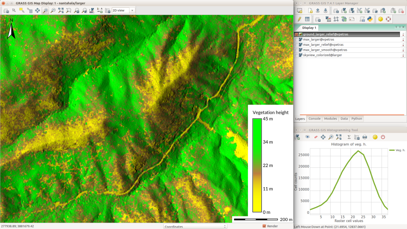
Please help us testing the Python3 support in the yet unreleased GRASS GIS trunk (i.e., version “grass77” which will be released as “grass78” in the near future).
Why Python 3?
Python 2 is end-of-life (EOL); the current Python 2.7 will retire in 11 months from today (see https://pythonclock.org). We want to follow the “Moving to require Python 3” and complete the change to Python 3. And we need a broader community testing.
Download and test!
Packages are available at time:
- winGRASS GIS 7.7svn daily builds with Python 3, available as standalone installers or in OSGeo4W (announcement)
- docker image: https://hub.docker.com/r/mundialis/grass-gis7-trunk/
- … more following soon
Instructions for testing
- Use grass77 :-)
- https://trac.osgeo.org/grass/wiki/Python3Support#Howtotest
Problems found? Please report them to us
Problems and bugs can be reported in the GRASS GIS trac. Code changes are welcome!
Thanks for testing grass77!
We are pleased to announce the GRASS GIS 7.4.2 release
What’s new in a nutshell
 After a bit more than four months of development the new update release GRASS GIS 7.4.2 is available. It provides more than 50 stability fixes and improvements compared to the previous stable version 7.4.1. An overview of the new features in the 7.4 release series is available at New Features in GRASS GIS 7.4.
Efforts have concentrated on making the user experience even better, providing many small, but useful additional functionalities to modules and further improving the graphical user interface. Segmentation now support extremely large raster maps. Dockerfile and Windows support received updates. Also the manual was improved. For a detailed overview, see the list of new features. As a stable release series, 7.4.x enjoys long-term support.
Binaries/Installer download:
- winGRASS 7.4.2: 32bit standalone installer | 64bit standalone installer
- winGRASS 7.4.2 OSGeo4W: 32bit OSGeo4W installer | 64bit OSGeo4W installer
- Debian
- EPEL6 (CentOS6, RHEL6, …)
- Fedora and EPEL7 (CentOS7, RHEL7, …)
- ubuntugis-unstable (Ubuntu LTS – Bionic, Xenial) | grass-stable (Ubuntu non-LTS)
- Max OS X (fully bundled binaries)
- … further binary packages for other Linux distributions will follow shortly, please check at software downloads.
Source code download:
- https://grass.osgeo.org/grass74/source/
- https://grass.osgeo.org/grass74/source/grass-7.4.2.tar.gz
- To get the GRASS GIS 7.4.2 source code directly from SVN, see here.
More details:
See also our detailed announcement:
- https://trac.osgeo.org/grass/wiki/Release/7.4.2-News
- https://trac.osgeo.org/grass/wiki/Grass7/NewFeatures74 (overview of new 7.4 stable release series)
- https://grass.osgeo.org/grass7/manuals/addons/ (list of available addons)First time users may explore the first steps tutorial after installation.
About GRASS GIS
The Geographic Resources Analysis Support System (https://grass.osgeo.org/), commonly referred to as GRASS GIS, is an Open Source Geographic Information System providing powerful raster, vector and geospatial processing capabilities in a single integrated software suite. GRASS GIS includes tools for spatial modeling, visualization of raster and vector data, management and analysis of geospatial data, and the processing of satellite and aerial imagery. It also provides the capability to produce sophisticated presentation graphics and hardcopy maps. GRASS GIS has been translated into about twenty languages and supports a huge array of data formats. It can be used either as a stand-alone application or as backend for other software packages such as QGIS and R geostatistics. It is distributed freely under the terms of the GNU General Public License (GPL). GRASS GIS is a founding member of the Open Source Geospatial Foundation (OSGeo).
The GRASS Development Team, October 2018
Fourth (and last) release candidate of GRASS GIS 6.4.3 with improvements and stability fixes
A fourth release candidate of GRASS GIS 6.4.3 is now available.
Source code download:
- https://grass.osgeo.org/
grass64/source/ - https://grass.osgeo.org/
grass64/source/grass-6.4.3RC4. tar.gz
Binaries download:
- winGRASS 6.4.3RC4 standalone installer
- winGRASS 6.4.3RC4 in OSGeo4W installer
- Arch Linux
- openSUSE One-Click installer
- Mac OS XÂ 10.6 Snow leopard
- … further packages will follow shortly.
To get the GRASS GIS 6.4.3RC4 source code directly from SVN:
 svn checkout https://svn.osgeo.org/grass/grass/tags/release_20130710_grass_6_4_3RC4/
Key improvements of this release include some new functionality (assistance for topologically unclean vector data), fixes in the vector network modules, fixes for the wxPython based portable graphical interface (attribute table management, wxNVIZ, and Cartographic Composer), fixes in the location wizard for Datum transform selection and support for PROJ.4 version 4.8.0, improvements for selecting the Python version to be used, enhanced portability for MS-Windows (native support, fixes in case of missing system DLLs), and more translations (esp. Romanian).
See also our detailed announcement:
 https://trac.osgeo.org/grass/
 https://trac.osgeo.org/grass/
First time users should explore the first steps tutorial after installation.
Release candidate management at
https://trac.osgeo.org/grass/
Please join us in testing this release candidate for the final release.
Consider to donate pizza or beer for the upcoming GRASS GIS Community Sprint in Prague:
Thanks to all contributors!
A fifth release candidate of GRASS 6.3.0 is now available:
Source code download:
https://grass.osgeo.org/grass63
An initial announcement has been drafted at
https://trac.osgeo.org/grass
Key fixes include improved portability for MS-Windows (native support), several module fixes, and especially the introduction of a new, Python based portable graphical user interface which includes a new vector digitizer.
About GRASS GIS:
Commonly referred to as GRASS, this is a Geographic Information System (GIS) used for geospatial data management and analysis, image processing, graphics/maps production, spatial modeling, and visualization. GRASS is currently used in academic and commercial settings around the world, as well as by many governmental agencies and environmental consulting companies. GRASS is official project of the Open Source Geospatial Foundation.
Web site: https://grass.osgeo.org/
Frank Warmerdam has published the new FWTools 1.1.0 binaries for linux and win32. FWTools includes OpenEV, GDAL, MapServer, PROJ.4 and OGDI as well as some supporting components. Basic changes are in the Linux version which now includes the addition of PostgreSQL support in OGR, and SOS Server support in MapServer. This release also includes the new, experimental, PDS (Planetary Data) format support. Download from:
https://www.gdal.org/dl/fwtools/FWTools110.exe
https://www.gdal.org/dl/fwtools/FWTools-linux-1.1.0.tar.gz
Today PyWPS 1.0.0 has been released by Jachym Cepicky. PyWPS (Python Web Processing Service) implements the OGC Web Processing Service (WPS) standard in Python programming language. It has been written with native support for GRASS GIS which allows for accessing GRASS modules via Web. Processes can be run asynchronously. By default, GRASS GIS is supported, other tools (R, GDAL/OGR, PROJ.4, …) can be configured, too.
A first demo application can be seen here: WUIW – a PyWPS AJAX Web Interface.
After an extra round of hacking, the new SWIG based new GRASS 6.3 Python interface starts work within a GRASS session. We can now call GRASS C functionality in Python scripts. Via libera for GRASS as GIS backbone for other software packages!
[Special thanks to Alessandro Frigeri for the nice logo]