The GRASS GIS 8.4.1 release provides more than 80 improvements and fixes with respect to the release 8.4.0. Enjoy!
The GRASS GIS 8.4.1RC1 release provides more than 70 improvements and fixes with respect to the release 8.4.0. Please support us in testing this release candidate.
The GRASS GIS 8.4.0 release provides more than 520 improvements and fixes with respect to the release 8.3.2.
The GRASS GIS 8.4.0RC1 release provides more than 515 improvements and fixes with respect to the release 8.3.2. Please support us in testing this release candidate.
The GRASS GIS Annual Report for 2023 highlights a year of significant achievements and developments in the GRASS GIS project, which celebrated its 40th anniversary.
Here’s a summary of the report:
- Community Meeting: The GRASS GIS Community Meeting was held in June at the Czech Technical University in Prague, bringing together a diverse group of participants from various countries. Additionally, community members participated in the OSGeo Community Sprint in Vienna in November.
- Development Activity: The year saw the release of the GRASS GIS 8.3.0 feature release and three maintenance releases. There were 418 pull requests created, 387 merged, and 103 issues resolved. Nine new addons were added by several contributors. The top five contributors were acknowledged, and a new core contributor was welcomed. Also a GRASS Student Grant was awarded.
- Conferences in 2023: GRASS GIS was represented at several conferences, including the North Carolina GIS conference, FOSS4G in Kosovo and North America, and the OpenGeoHub Summer School. Topics covered ranged from parallelization in GRASS GIS to computational notebooks for geospatial computation.
- GRASS GIS in Industry: OpenPlains Inc., a startup utilizing GRASS GIS, was founded. Additionally, a subaward was granted to research software engineers at North Carolina State University to enhance GRASS GIS, funded by an NSF grant awarded to Natrx.
- GRASS GIS in Academia: A significant NSF grant was awarded to a team from four U.S. universities to support the GRASS GIS community. Various academic activities, including workshops, courses, and lectures, were conducted throughout the year, emphasizing the application of GRASS GIS in different fields.
- GRASS GIS in Government: The U.S. Geological Survey released a training video on using GRASS GIS with 3D Elevation Program data. The NC State University team received research support from the US Department of Agriculture for developing GRASS modules for surface water modeling.
Congratulations to all contributors!
The full report is available at https://grass.osgeo.org/news/2023_12_19_annual_report/
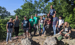
The GRASS GIS community is delighted to present the outcome of the 4th Community Sprint that took place in a warm and sunny Prague, Czech Republic, from July 12 to July 18, 2013. The event happened after the Geoinformatics conference at the Czech Technical University in Prague. The Community Sprint was once more a creative gathering of both long-term and new developers, as well as users.
This meeting was held in the light of 30 YEARS OF GRASS GIS!

We wish to cordially thank the Department of Mapping and Cartography, Faculty of Civil Engineering, Czech Technical University in Prague for hosting and technical support. In particular, we gratefully acknowledge our association sponsors OSGeo and FOSSGIS e.V., and many individual donors: Peter Löwe, Andrea Borruso, Massimo Di Stefano, Alessandro Sarretta, Joshua Campbell, Andreas Neumann, Jon Eiriksson, Luca Casagrande, Karyn O Newcomb, Holger Naumann, Anne Ghisla, Helena Mitasova and Lubos Mitas, Dimitris Tamp, Mark Seibel, Markus Metz, and Tawny Gapinski. These financial contributions were used to cover costs such as meals and to help reducing travelling and accommodation expenses for participants with far arrival who came on own expenses.
Developers and users who joined the event came from various countries like Italy, Czech Republic, Slovak Republic, Poland, Sri Lanka/France, USA and Germany.
The Community Sprint focused on:
- testing/bugfixing of the upcoming GRASS 7 version,
- backporting new functionalities to the stable GRASS 6.4 series,
- testing/bugfixing related to Mac OS X, MS-Windows and Linux,
- presenting and developing the new Temporal GIS Algebra in GRASS 7,
- connecting GRASS 7 with the planetary science software ISIS,
- discussing integration with rasdaman.org software, a powerful multidimensional raster processor,
- creating 3D vector test data for 3D interpolation,
- discussing vector conflation,
- discussing Bundle Block Adjustments,
- presenting the state of image processing in GRASS 7, and discussing its future,
- improving documentation, with focus on image processing and Temporal GIS Algebra,
- developing/refactoring and bugfixing several wxGUI’s components,
- further developing customizable wxGUI Toolboxes concept,
- improving translation in Polish and Romanian languages,
- fixing v.krige in GRASS7 and proposing merge with the recently developed v.kriging module,
- meeting between Google Summer of Code 2013 mentor and students.
A lot of topic oriented discussions happened among small groups of participants: for more detailed information, please visit the Wiki pages at https://grasswiki.osgeo.org/wiki/GRASS_Community_Sprint_Prague_2013 and the related discussion page at https://grasswiki.osgeo.org/wiki/Talk:GRASS_Community_Sprint_Prague_2013
About GRASS GIS
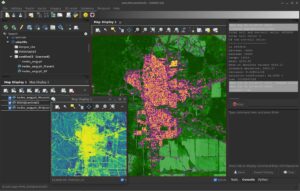
The Geographic Resources Analysis Support System, commonly referred to as GRASS GIS, is an Open Source Geographic Information System providing powerful raster, vector and geospatial processing capabilities in a single integrated software suite. GRASS GIS includes tools for spatial modeling, visualization of raster and vector data, management and analysis of geospatial data, and the processing of satellite and aerial imagery. It also provides the capability to produce sophisticated presentation graphics and hardcopy maps. GRASS GIS has been translated into about twenty languages and supports a huge array of data formats. It is distributed freely under the terms of the GNU General Public License (GPL). GRASS GIS is an official project of the Open Source Geospatial Foundation (OSGeo).
GRASS GIS Development Team, July 2013
Wait – it is also possible to buy a round of beer for the developers with a quick click using the PayPal “Buy [pizza/beer/…] Now” button below:
About the Community Sprint
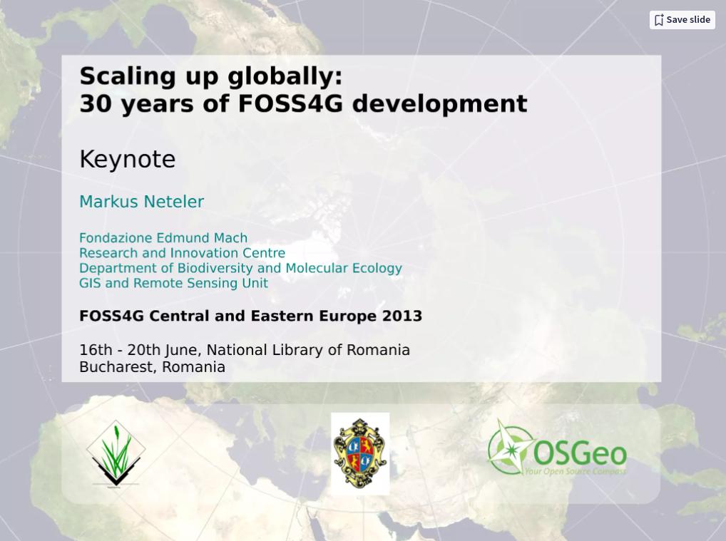
In my presentation I briefly review 3 decades of Open Source GIS development, from the 1980th to the present.
See my slides:
Presentation file: Download presentation file (ODP) to get all the clickable links working!
Join us at FOSS4G Central and Eastern Europe (FOSS4G-CEE) 2013 from 16th – 20th June, National Library of Romania, Bucharest, Romania.
You will meet well known Keynote Speakers (random order): Jeff McKenna, Paul C. Smits, Jáchym Čepický, Schuyler Erle, Maria Antonia Brovelli, Dirk Frigne, Markus Neteler, Alyssa Wright, and Radu Puchiu.
Check the long list of Practical Workshops and Oral Presentations at: https://2013.foss4g-cee.org/program/schedule
Check out for the additional Code Sprint, the Open GeoData Hackathon, and the Open Data Side Event.
How to arrive? See https://2013.foss4g-cee.org/venue/map
Markus Neteler
Open Source Consultancy
Get in touch
E-Mail: markus AT neteler DOT org | contact form


 Follow
 Follow