The OSGeo-Live geospatial software collection version 7.0 has been released, featuring more than sixty open source, standards compliant geospatial desktop applications, web applications and frameworks. A complete installation kit and high-quality sample data in multiple industry standard formats are included. The OSGeo Live will be officially launched at FOSS4G 2013 in Nottingham, UK, 17-21 September, 2013.
Release Highlights
Projects new to this release include:
- GeoNode — a web-based application and platform for developing geospatial information systems (GIS) and for deploying spatial data infrastructures (SDI)
- Leaflet — a modern, open source JavaScript library for mobile-friendly interactive maps
- ncWMS — a Web Map Service (WMS) for geospatial data stored in CF-compliant NetCDF files
- netCDF dataset — daily maximum temperature and rainfall, worldwide
All geospatial applications on the disc have been updated to their latest stable releases.
About OSGeo-Live
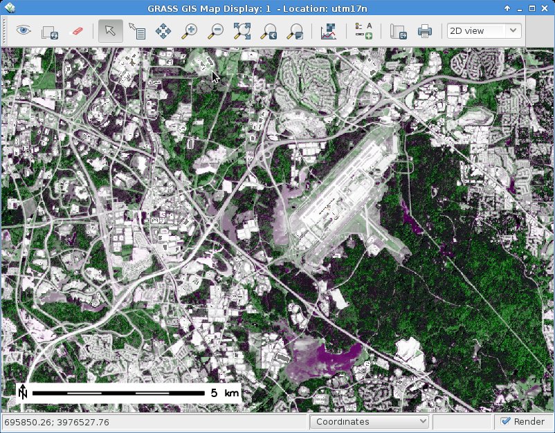
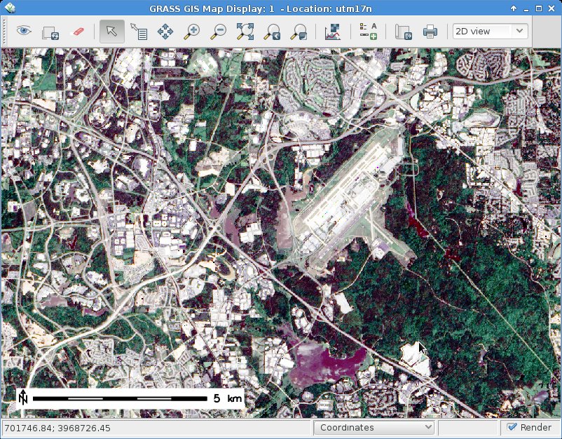
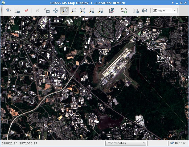
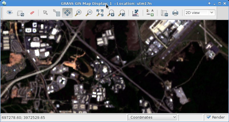
OSGeo-Live is a self-contained bootable DVD, USB flash drive and Virtual Machine based upon Ubuntu Linux (version 12.04 LTS). OSGeo-Live is pre-configured with a wide variety of robust open source geospatial software. All applications can be trialled without installing anything on your computer, simply by booting the computer from a DVD or USB drive, or running in a Virtual Machine environment. Each featured package is accompanied by both a publication quality one page descriptive summary and a short tutorial on how to get started using it.
https://live.osgeo.org
OSGeo-Live includes:
- Over sixty quality geospatial Open Source applications installed and pre-configured
- Free world maps and geodata
- One page overview and quick start guide for every application
- Overviews of key OGC standards
- Translations to multiple languages
Credits
Over 160 people have directly helped with OSGeo-Live packaging, documenting and translating, and thousands have been involved in building the packaged software.
Packagers, documenters and translators include:
Activity Workshop, AgustÃn DÃÂez, Aikaterini Kapsampeli, Alan Beccati, Alan Boudreault, Alessandro Furieri, Alexander Bruy, Alexander Kleshnin, Alexander Muriy, Alexandre Dube, Alexey Ardyakov, Alex Mandel, Amy Gao, Andrea Antonello, Andrea Yanza, Andrey Syrokomskiy, Andry Rustanto, Angelos Tzotsos, Anna Muñoz, Antonio Falciano, Anton Novichikhin, Anton Patrushev, Argyros Argyridis, Ariel Núñez, Assumpció Termens, Astrid Emde, Barry Rowlingson, Benjamin Pross, Brian Hamlin, Bruno Binet, Cameron Shorter, Christophe Tufféry, Christos Iossifidis, Cristhian Pin, Damian WojsÅ‚aw, Dane Springmeyer, Daniel Kastl, Daria Svidzinska, David Mateos, Denis Rykov, Diego González, Diego Migliavacca, Dimitar Misev, Dmitry Baryshnikov, Dominik Helle, Edgar Soldin, Eike Hinderk Jürrens, Elena Mezzini, Eric Lemoine, Estela Llorente, Etienne Delay, Etienne Dube, Evgeny Nikulin, Fran Boon, François Prunayre, Frank Gasdorf, Frank Warmerdam, Friedjoff Trautwein, Gavin Treadgold, Giuseppe Calamita, Gerald Fenoy, Grigory Rozhentsov, Guy Griffiths, Hamish Bowman, Haruyuki Seki, Henry Addo, Hernan Olivera, Howard Butler, Hyeyeong Choe, Ian Edwards, Ian Turton, Ilya Filippov, Jackie Ng, Jan Drewnak, Jane Lewis, Javier Rodrigo, Javier Sánchez, Jesús Gómez, Jim Klassen, Jing Wang, Jinsongdi Yu, Jody Garnett, Johan Van de Wauw, John Bryant, Jorge Arévalo, Jorge Sanz, José Antonio Canalejo, José Vicente Higón, Judit Mays, Klokan Petr Pridal, Kristof Lange, kuzkok, Lance McKee, Lars Lingner, Luca Delucchi, LucÃa Sanjaime, Mage Whopper, Manuel Grizonnet, Marc-André Barbeau, Marco Curreli, Marco Puppin, Marc Torres, Margherita Di Leo, Maria Vakalopoulou, Mario Andino, Mark Leslie, Massimo Di Stefano, Mauricio Miranda, Mauricio Pazos, Maxim Dubinin, Michaël Michaud, Michael Owonibi, Micha Silver, Mike Adair, Milena Nowotarska, M Iqnaul Haq Siregar, Nacho Varela, Nadiia Gorash, Nathaniel V. Kelso, Ned Horning, Nobusuke Iwasaki, Oliver Tonnhofer, Ã’scar Fonts, Otto Dassau, Pasquale Di Donato, Patric Hafner, Paul Meems, Pavel, Pedro-Juan Ferrer, Pirmin Kalberer, Raf Roset, Ricardo Pinho, Roald de Wit, Roberta Fagandini, Roberto Antolin, Roberto AntolÃÂn, Roger Veciana, Ruth Schoenbuchner, Samuel Mesa, Scott Penrose, Sergey Grachev, Sergio Baños, Simon Cropper, Simon Pigot, Stefan A. Tzeggai, Stefan Hansen, Stefan Steiniger, Stephan Meissl, Steve Lime, Thierry Badard, Thomas Baschetti, Thomas Gratier, Tom Kralidis, Toshikazu Seto, Trevor Wekel, Valenty González, Vera, Xianfeng Song, Yoichi Kayama, Zhengfan Lin
Sponsoring organisations