Processing Landsat 8 data in GRASS GIS 7: RGB composites and pan sharpening
[toc]
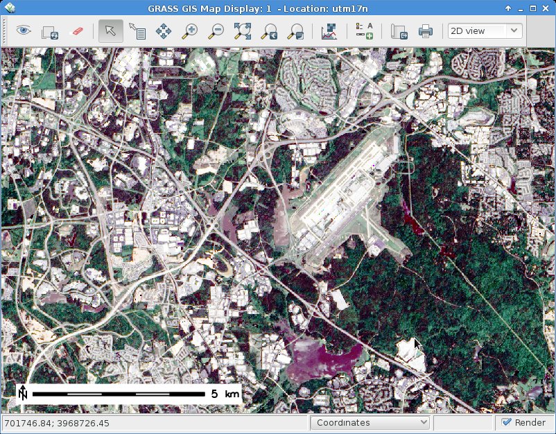
In our first blog post (“Processing Landsat 8 data in GRASS GIS 7: Import and visualization“) we imported a Landsat 8 scene (covering Raleigh, NC, USA). In this exercise we use Landsat 8 data converted to reflectance with i.landsat.toar as shown in the first posting.
Here we will try color balancing and pan-sharpening, i.e. applying the higher resolution panchromatic channel to the color channels, using i.colors.enhance (former i.landsat.rgb).
Landsat 8 – RGB color balancing: natural color composites
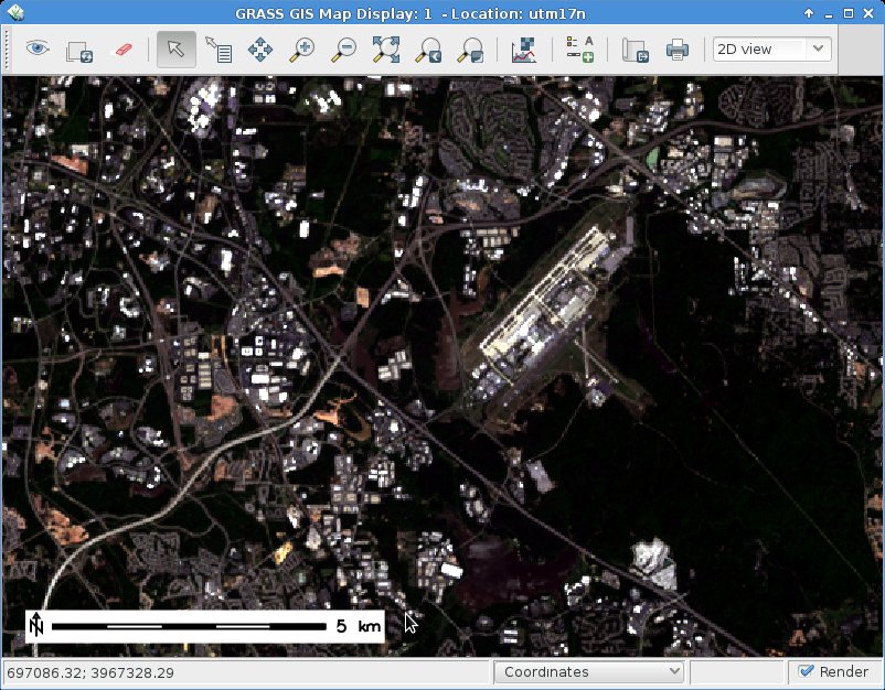
After import, the RGB (bands 4,3,2 for Landsat 8) may look initially less exciting than expected.This is easy to fix by a histogram based auto-balancing of the RGB color tables.
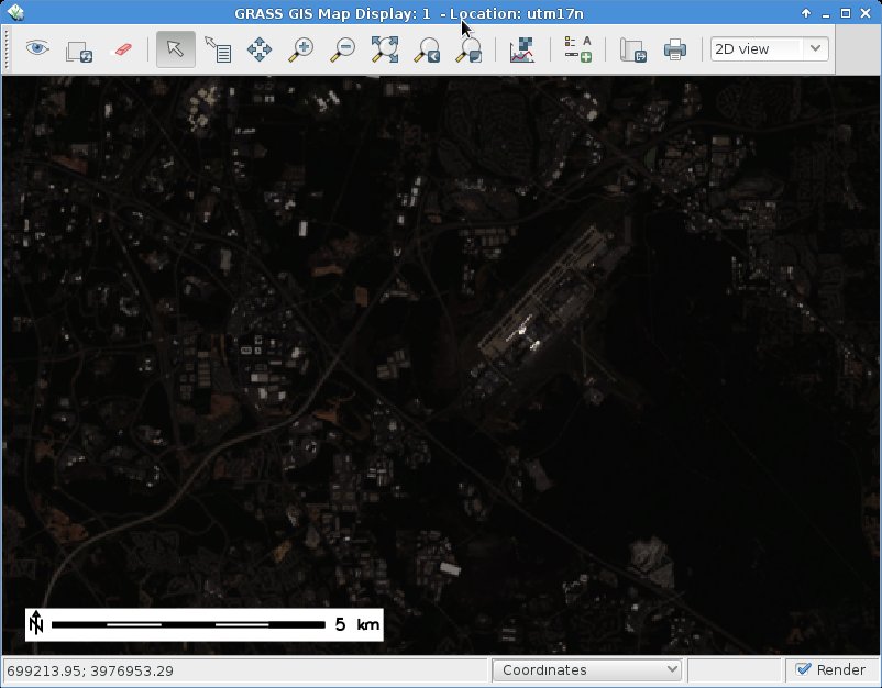
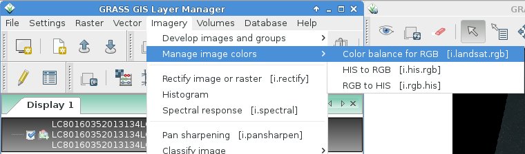
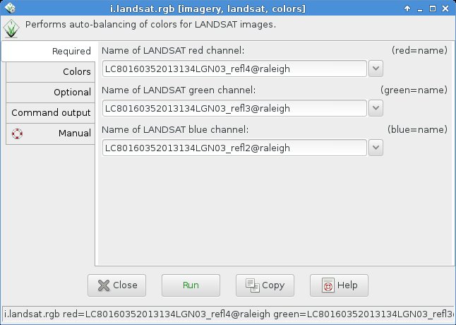
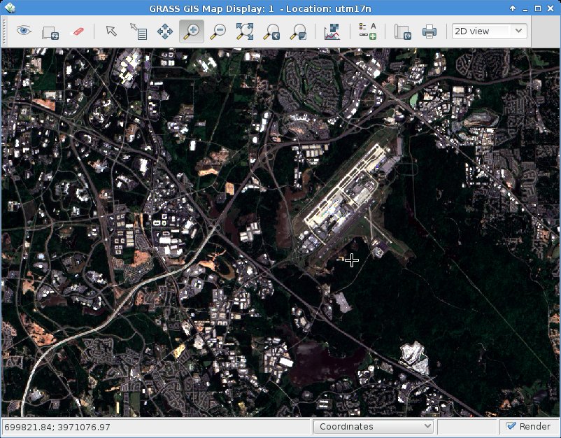
To brighten up the RGB composite, we can use the color balancing tool of GRASS GIS 7:
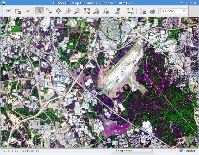
As input, we specify the bands 4, 3, and 2:
Using a “Cropping intensity (upper brightness level)” of 99 (percent), the result look as follows:
For special purposes or under certain atmospheric/ground conditions it may be useful to make use of the functions “Preserve relative colors, adjust brightness only” or “Extend colors to full range of data on each channel” in the “Optional” tab of i.colors.enhance (former i.landsat.rgb).
You will need to experiment since the results depend directly on the image data.
Landsat 8 pansharpening
Pansharpening is a technique to merge the higher geometrical pixel resolution of the panchromatic band (Band 8) with the lower resolution color bands (Bands 4, 3, 2).
GRASS GIS 7 offers several methods through the command i.pansharpen.
1) Brovey transform:
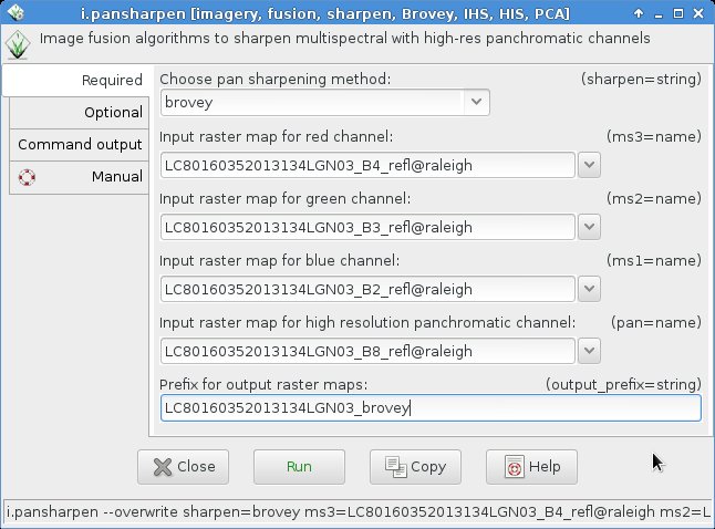
This module runs in multi-core mode parallelized. The management of the resolution (i.e., apply the higher resolution of the panchromatic band) is performed automatically.
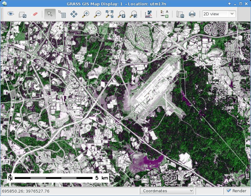
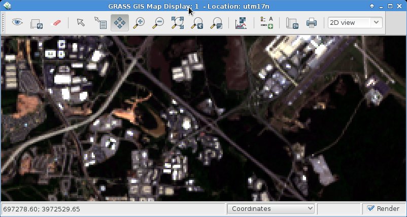
2. IHS transform
Here we select as above the bands in the i.pansharpen interface but use the “ihs” method.
HINT: If the colors should look odd, then apply i.colors.enhance (former i.landsat.rgb) to the pan-sharpened bands (see above).
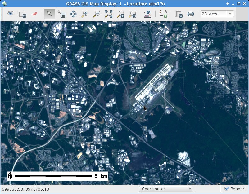
Color-adjusted IHS pansharpening (with “Cropping intensity: strength=99”):
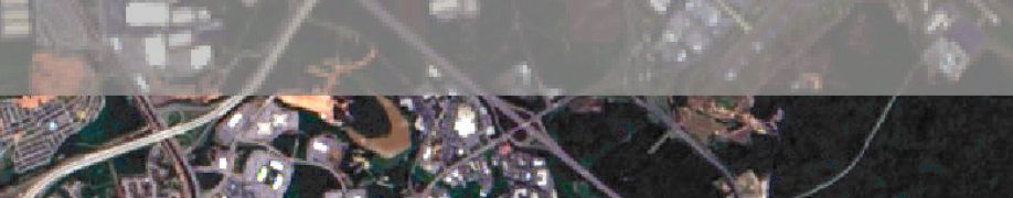
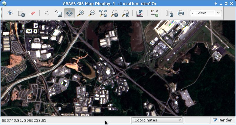
Comparison of Landsat 8 RGB composite (39m) and IHS pansharpened RGB composite (15m):
3. PCA transform
Here we select as above the bands in the i.pansharpen interface but use the “pca” method.
Likewise other channels may be merged with i.pansharpen, even when originating from different sensors.
Conclusions
Overall, the IHS pansharpening method along with auto-balancing of colors appears to perform very well with Landsat 8.
Edit 2015: See also pansharpening with i.fusion.hpf!
hello
i would like to calculate land surface temperature from Landsat 8 but the addon is not working with me, i installed the i.landsat8.swslt and when i open the option its not as the munal explained.
what can i do to calculate the land surface temperature.
regards
Can you please describe the problems with i.landsat8.swslt in greater detail?`Maybe via email to me.
I thought that i.pansharpen only worked with 8 bit data, while Landsat 8 data is 16 bit…
I tried the process on my imagery and it did not work.
Two weeks ago i.pansharpen has been extended to work with up to 32bit. This is available in the current GRASS GIS 7.7 development version which will become stable GRASS GIS 7.8 soon.