Landsat 8 captures Trentino in November 2014

The beautiful days in early November 2014 allowed to get some nice views of the Trentino (Northern Italy) – thanks to Landsat 8 and NASA’s open data policy:
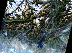
Landsat 8: Northern Italy 1 Nov 2014
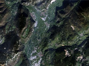

Trento captured by Landsat8

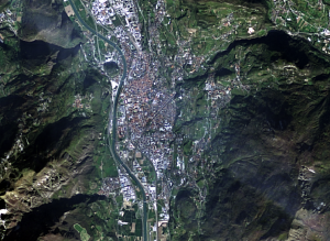
Landsat 8: San Michele - 1 Nov 2014
Landsat 8: San Michele – 1 Nov 2014

The beauty of the landscape but also the human impact (landscape and condensation trails of airplanes) are clearly visible.

All data were processed in GRASS GIS 7 and pansharpened with i.fusion.hpf written by Nikos Alexandris.

This entry was posted in Blog, GRASS, Landsat, OSGeo, remote sensing on by .

About Markus

Markus Neteler , a founding member of FOSSGIS.de (D-A-CH), GFOSS.it (Italy) and the Open Source Geospatial Foundation (OSGeo), was head of the GIS and Remote Sensing Unit at the Research and Innovation Centre of the Fondazione Edmund Mach, Trento, Italy from 2008 to 2016. In 2015 he co-founded the company mundialis (Bonn, Germany), a start-up specialised in open source development and massive data processing. He is the author of several books and chapters on GRASS and various papers on GIS applications. Passionate about open source GIS, he became a GRASS GIS user in 1993 and a developer in 1997, and has been coordinating its development ever since.

Leave a Reply

Your email address will not be published. Required fields are marked *