GRASS GIS 6.4.2 released
19 February 2012
https://grass.osgeo.org
We are pleased to announce the release of a new stable version of GRASS GIS. This release fixes bugs discovered in version 6.4.1 of the program and adds a number of new features. This release includes over 760 updates to the source code since 6.4.1. As a stable release series, the 6.4 line will enjoy long-term support and incremental enhancements while preserving backwards-compatibility with the entire GRASS 6 line.
The new wxPython graphical user interface (wxGUI) has been updated with many new features and tools. Python is now a fully supported scripting language, including an updated Python toolkit to simplify the authoring of personal scripts, support for NumPy based array calculations, and a Python application interface for the GRASS C libraries. Additionally, MS-Windows support continues to mature. GRASS 6.4.2 debuts ten new modules, a new GUI cartographic composer tool, a new GUI object-oriented modeling environment, and improved infrastructure for installing community supplied add-on modules.
Read the full story at
https://grass.osgeo.org/announces/announce_grass642.html
About GRASS GIS
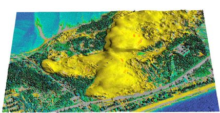
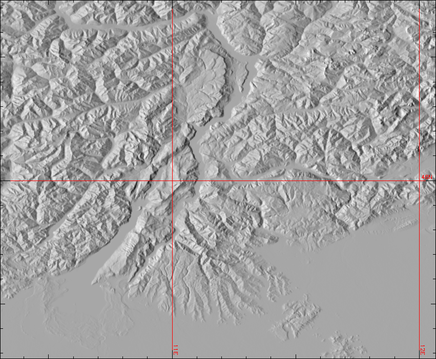
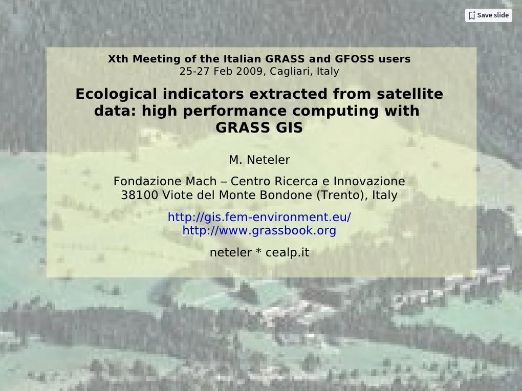
The Geographic Resources Analysis Support System, commonly referred to as GRASS, is an Open Source Geographic Information System (GIS) and geospatial analysis toolkit. For nearly three decades, GRASS has provided powerful raster, vector, and geospatial processing engines in a single integrated software suite. GRASS includes tools for spatial modeling of raster and vector data, visualization, the management and analysis of geospatial information, and the processing of satellite and aerial imagery. It also provides the capability to produce sophisticated presentation graphics and publication-quality hardcopy maps. GRASS has now been translated into twenty languages and supports an extensive array of data formats. It is distributed under the terms of the GNU General Public License (GPL).
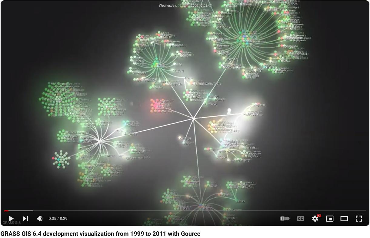
GRASS differs from many other GIS software packages used in the academic and professional worlds in that it is developed and distributed by users for users, mostly on a volunteer basis. Its code and spatial processing algorithms are open and transparent, and the software is distributed free of charge. The source code is also freely available, allowing for immediate customization, examination of the underlying algorithms, the addition of new features, and faster identification and patching of bugs.