Using the 25m EU-DEM for shading OpenStreetMap layers
Inspired by Vaclav Petras posting about “Did you know that you can see streets of downtown Raleigh in elevation data from NC sample dataset?” I wanted to try the new GRASS GIS 7 Addon r.shaded.pca which creates shades from various directions and combines then into RGB composites just to see what happens when using the new EU-DEM at 25m.
To warm up, I registered the “normally” shaded DEM (previously generated with gdaldem) with r.external in a GRASS GIS 7 location (EPSG 3035, LAEA) and overlayed the OpenStreetMap layer using WMS with GRASS 7’s r.in.wms. An easy task thanks to University of Heidelberg’s www.osm-wms.de. Indeed, they offer a similar shading via WMS, however, in the screenshot below you see the new EU data being used for controlling the light on our own:
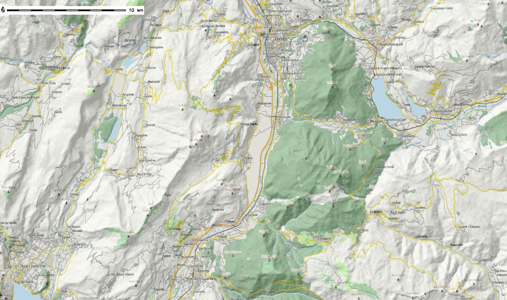
OpenStreetMap shaded with EU DEM 25m (click to enlarge)
Next item: trying r.shaded.pca… It supports multi-core calculation and the possibility to strengthen the effects through z-rescaling. In my example, I used:
r.shaded.pca input=eu_dem_25 output=eu_dem_25_shaded_pca nproc=3 zmult=50
The leads to a colorized hillshading map, again with the OSM data on top (50% transparency):
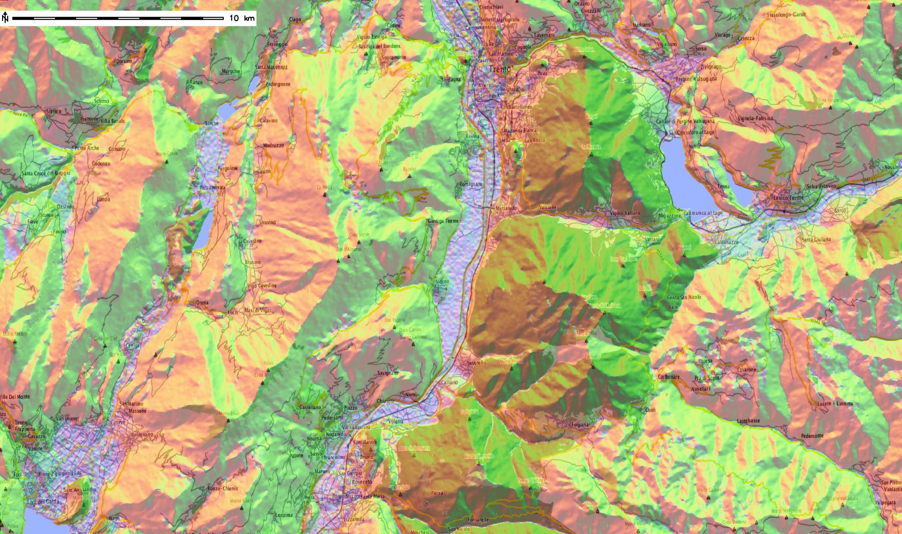
OpenStreetMap shaded with r.shaded.pca using EU DEM 25m (click to enlarge)
Yes, fun – I like it :-)
Data sources:
Leave a Reply
Want to join the discussion?Feel free to contribute!