 The Open Source Geospatial Foundation (OSGeo) today celebrates its 18th anniversary, underscoring its pivotal role in the development of open source geospatial software and its impact on the world. Founded in 2006, OSGeo’s mission is to support and promote the collaborative development of open geospatial technologies and data. Over the years, it has become a cornerstone of the open geospatial community, fostering innovation, education and adoption of open source geospatial software worldwide.
The Genesis: A vision for open geospatial
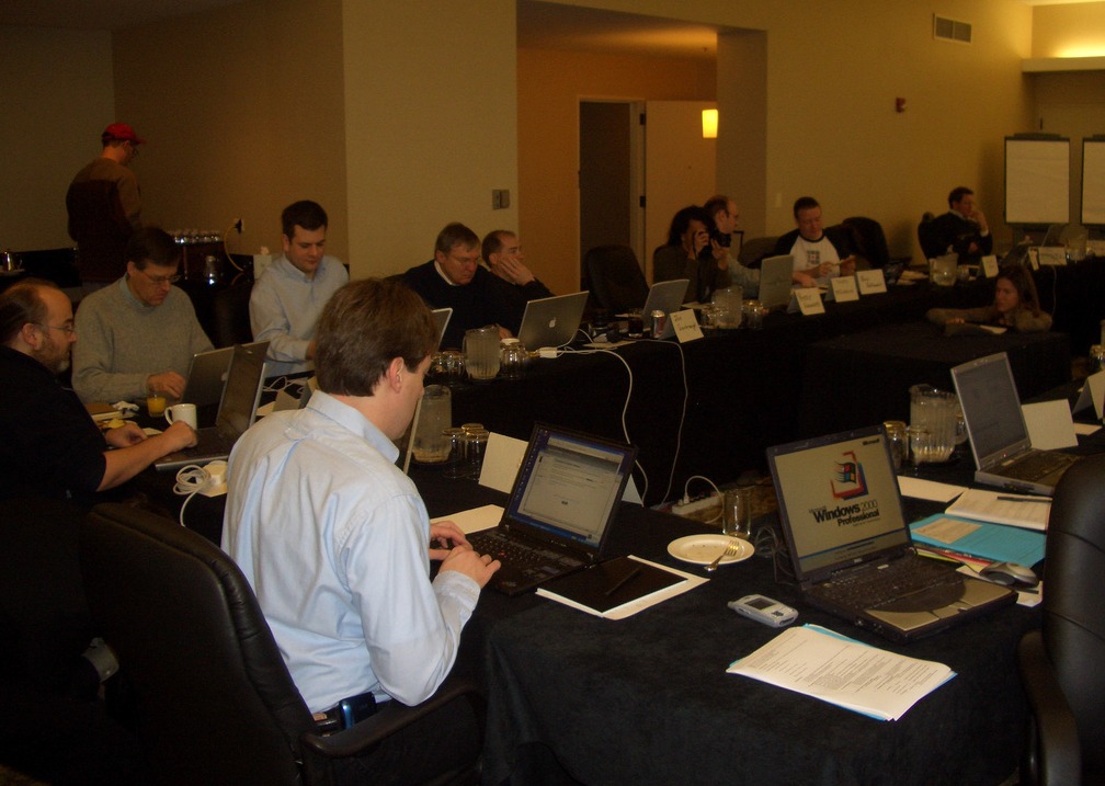
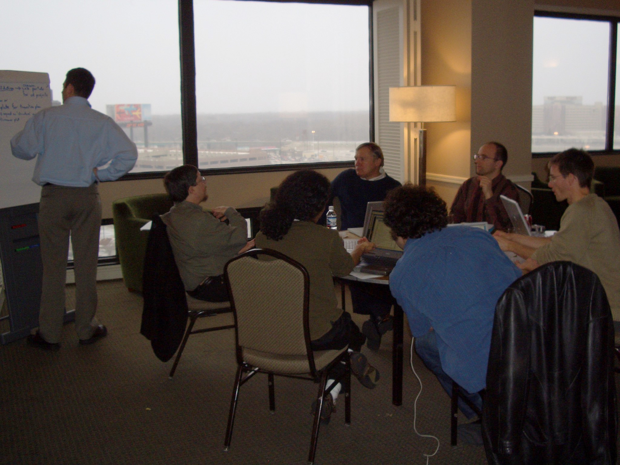
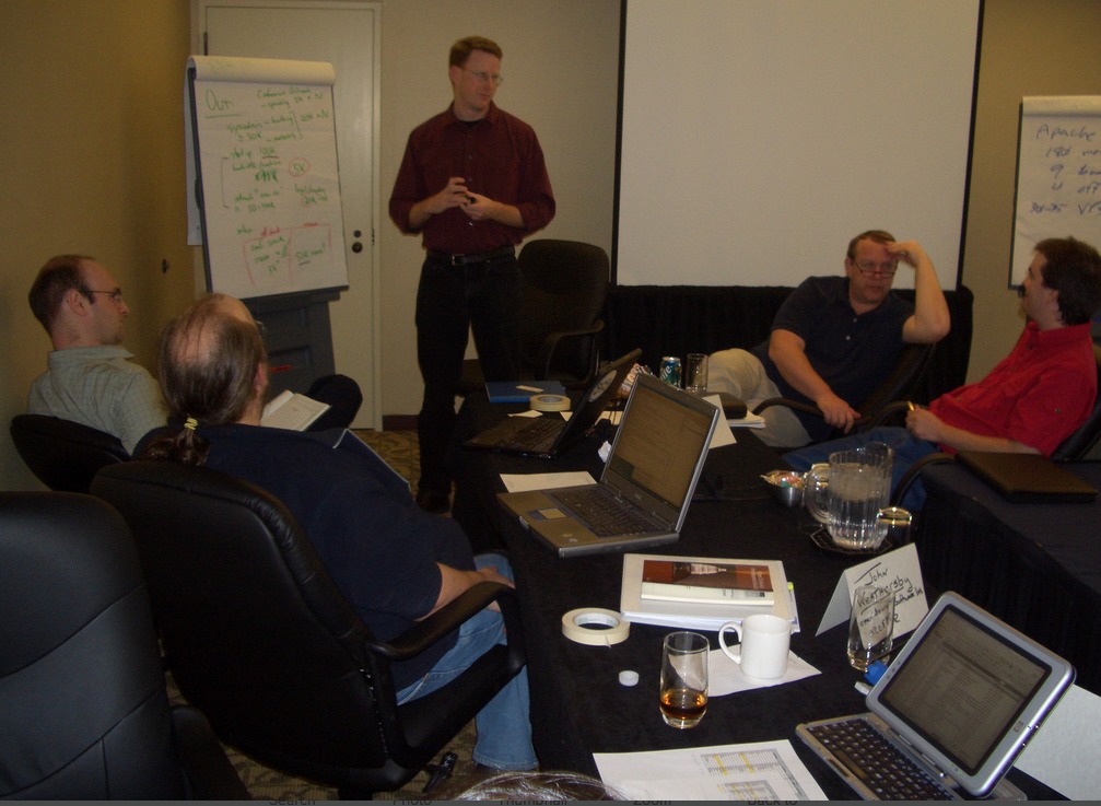
In the early 2000s, the geospatial industry was dominated by proprietary software, limiting innovation and access to high-quality geospatial tools. The creation of OSGeo on Feb 4th, 2006, was driven by a collective recognition of the need for an organised effort to support and promote open source geospatial software. This vision was not only about creating alternatives to proprietary software, but also about fostering a community where collaboration and knowledge sharing are paramount.
Milestones and Achievements
Since its inception, OSGeo has been instrumental in supporting numerous projects that have become staples of the geospatial industry. Projects such as GDAL/OGR, Mapserver, GRASS GIS, QGIS and PostGIS, among others, have benefited from the Foundation’s support and grown into robust tools used by professionals and enthusiasts alike. These projects exemplify OSGeo’s commitment to providing high quality, accessible geospatial tools. In addition, many OSGeo community projects have become part of the Foundation.
One of the Foundation’s key strengths is its ability to bring together a diverse community of developers, users and educators. Through initiatives such as the annual FOSS4G (Free and Open Source Software for Geospatial) conference, OSGeo has created a vibrant platform for knowledge sharing, networking and innovation.
Education and outreach
OSGeo’s commitment to education is another cornerstone of its mission. The Foundation has actively worked to integrate open source geospatial software into educational curricula around the world, providing students and researchers with the tools and knowledge to push the boundaries of geospatial science. Through workshops, seminars and the GeoForAll initiative, OSGeo has made significant strides in democratising geospatial education.
Impact on industry and society
OSGeo’s impact extends beyond the geospatial community. Open source geospatial tools have become integral to addressing global challenges, from climate change and natural resource management to urban planning and disaster response. By providing accessible, high-quality geospatial tools, OSGeo has enabled organisations, governments and individuals to make informed decisions based on spatial data.
Looking to the future
As OSGeo celebrates its 18th anniversary, it is on the cusp of a new era in geospatial technology. The advent of cloud computing, big data and machine learning presents new opportunities and challenges. OSGeo’s role in fostering innovation and collaboration will be more important than ever as the community navigates these changes.
Happy 18th birthday, OSGeo! Here’s to many more years of innovation, collaboration and community.





 Follow
 Follow