GRASS GIS 8.4.1 released
New stable release
The GRASS 8.4.1 release contains more than 80 changes compared to version 8.4.0. This new minor release includes important fixes and improvements to the GRASS tools, libraries and the graphical user interface (GUI), making it more stable and robust for your daily work.
Most importantly, since the 8.4.0 release: location is now project: The Python API, command line, and graphical user interface are using project instead of location for the main component of the data hierarchy while maintaining backward compatibility.
Translations continue in Weblate, which automatically creates pull requests with the translated chunks. We’d like to thank the translators of all languages for their ongoing support!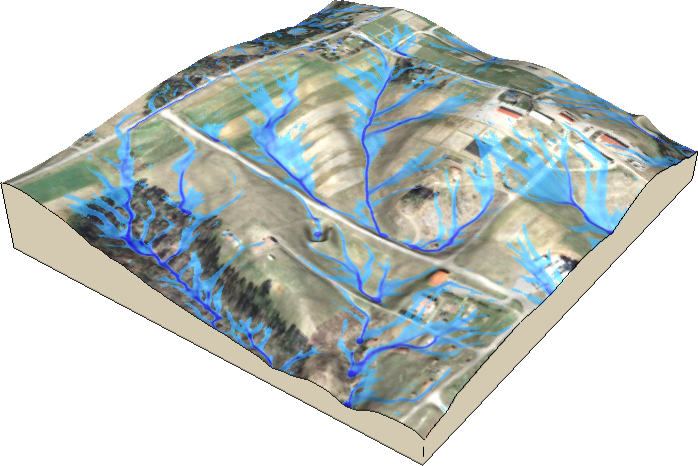
Highlights
- r.sim.water: tool and its documentation received various updates
- GUI: stability fixes
- manual pages: many minor corrections including external URL updates
- Mac binaries are now notarized
New Addon Tools
- r.slopeunits: toolset that creates, cleans and calculate metrics for slope units
- r.watersheds: New addon for OpenMP parallel watershed delineation based on Cho (2025)
- r.in.vect: new addon to import a vector map as raster layer
- r.maxent.setup: new addon and refactoring r.maxent.predict and r.maxent.train
- r.buildvrt.gdal: Create GDAL VRTs for GDAL linked raster maps
What’s Changed
See https://github.com/OSGeo/grass/releases/tag/8.4.1
Download
- Source code: visit the release page to download
- Windows: setup.exe
- Linux: see the various distributions
- Mac: notarized binaries
Thanks to all contributors!
